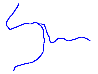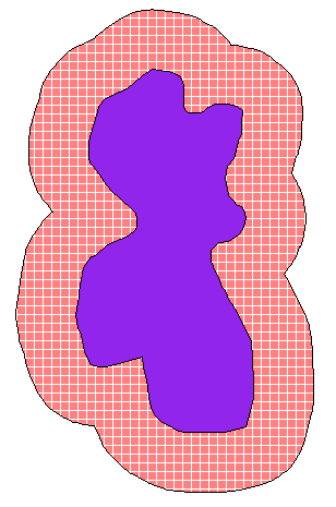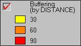
· Timber: Determining no-cut zones along rivers (riparian areas)
· Pipeline/DOT: Specifying road buffers for right-of-way
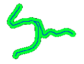
· Parks: Park and recreation layout (green belt and creek buffers)
· City/County: Housing development layout (quiet zones)
· Municipal: Specifying river flood planes
· Agriculture: Chemical application and crop planning

POINTS